
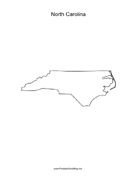
A blank map of the state of North Carolina, oriented vertically and ideal for classroom or business use.
My safe download promise. Downloads are subject to this site's terms of use. This map belongs to these categories: state portrait blank
Subscribe to my free weekly newsletter — you'll be the first to know when I add new printable documents and templates to the FreePrintable.net network of sites.
People who printed this map also printed.
![]()
Subscribe to the Free Printable newsletter. (No spam, ever!)
These maps are easy to download and print. Each individual map is available for free in PDF format. Just download it, open it in a program that can display PDF files, and print.
The optional $9.00 collections include related maps—all 50 of the United States, all of the earth's continents, etc. You can pay using your PayPal account or credit card. You'll be able to download the map collection within moments.
Search All Printables
If you don't see a map design or category that you want, please take a moment to let us know what you are looking for. Make a suggestion
Thank you for your suggestion.
We're always adding new printables, and would love to hear your suggestions. What are we missing?